What is it?
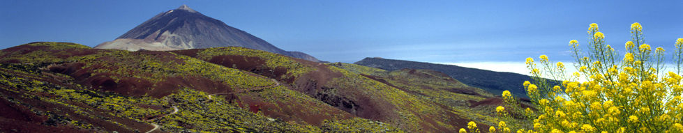
Caldera del Rey is a particularly unique geomorphological structure, as it is one of the three best examples of phreatomagmatic volcanism (when magma comes into contact with water) in Tenerife. However, the area’s plant life is in a serious state of deterioration, owing to the agricultural activity further inland: only on the inner slope to the north of the caldera will you find well-preserved escarpments that are home to certain rock-growing plants, which thrive on rocks despite the almost total absence of soil.
Getting there
Caldera del Rey can be accessed from the TF-1 via the exit for San Eugenio en Las Américas. The exit takes you on to the road leading up to San Eugenio Alto; after travelling for a kilometre, you will arrive at the Natural Monument.
Total area
180,7 ha.
Municipality
Adeje.
Governing legislation
Caldera del Rey was declared a Natural Monument and area of environmental sensitivity by Autonomous Region Act 12/94, which was later integrated into the Organisation of the Canary Islands Territory Act via Legislative Decree 1/2000.
 Print
PrintNews
- El Cabildo reactiva la Red Insular de Entidades Locales de Participación Ciudadana
- El Cabildo trasladará el segundo módulo del Gran Anillo Peatonal del Padre Anchieta el próximo lunes
- El Cabildo culmina el documento técnico para la declaración de emergencia hídrica, que prevé 77 acciones
- Ópera de Tenerife presenta la temporada 2024-2025
Citizen Service Appointments
We listen to you, help you and offer you information and services by phone (901501901 or 922239500), online and in person
Further information on
Citizen Services
Contact us via our form
Your municipality
 Information on municipalities on the island of Tenerife


 Families and children
 The elderly
 Young people
 Women
Women Poeple with disabilities
 Farmers
 Foreign residents and emigrants